
As mentioned in the previous post, The #1 bus takes the road along the south shore. That description was a bit oversimplified. There is a bus, the #6 that goes to St. David’s Island as well. I have not been to St. David’s Island yet. This post describes my recent week-long visit to Castle Harbor, one of the few places my sailboat can find a safe anchorage along the south shore.
Foreign sailboats visiting Bermuda rarely visit this area. I was lucky to receive directions and suggestions from several of the local people.
Sailing the South Shore
There are reefs on the south shore that parallel the shoreline. The “boiler reefs” have that name for a good reason. My directions were to sail outside the boiler reefs… on the Atlantic Ocean.
Sailing between the boiler reefs and the shoreline can be dangerous. There were several rocks to be avoided are just below the water. The information was always followed by, “You can do it, but it’s a zig-zag course that is best run with experience.” I chose to sail on the outside.
After sailing the Town Cut, I had to continue sailing east. My primary waypoint was Gurnet Rock. I was told to give it a wide berth; when keeping it to starboard. So, pass it so that it is on my right and don’t get too close.
Finding one particular rock amidst the boiler reef seemed daunting at first. Saiing along the south shore, I saw many paces that looked like they would be alright. Just beyond the openening that I was looking at was Castle Harbor. Still, Gurnet Rock was farther down the coast. I trusted my instructions and continued on.
Entering Castle harbor
Finally, I reached Gurnet Rock. I resisted the urge to immediately turn towards the opening… then I saw a small breaker. There were rocks just below the surface nearby. I knew it was prudent to sail until I had a 90 degree turn straight toward the opening.
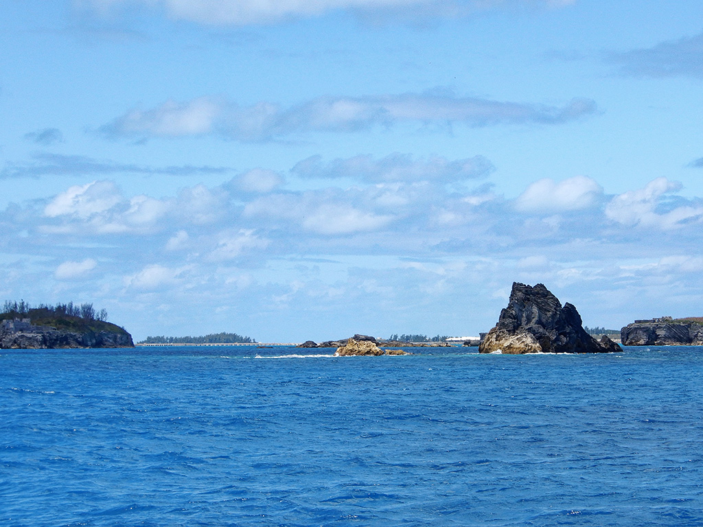
Gurnet Rock, the taller pointed rock, marks the entrance
From the view seen in the photo above, it was still too soon to make the turn… but I was getting close.
In the photo, a part of castle island is shown on the left. I had to keep that to my left as I entered. Once inside, there were a couple channel markers. Most of the channel markers are mounted on rocks which lay below the surface. It was good timing on my part to enter shortly after slack low tide. I always make a new landfill on a rising tide. So, if I were to run aground, the water would still be rising; giving me a chance to get free in a short while.
In this case, it became clear that seeing the rocks just below the surface was immediately obvious; making the navigation through much simpler.
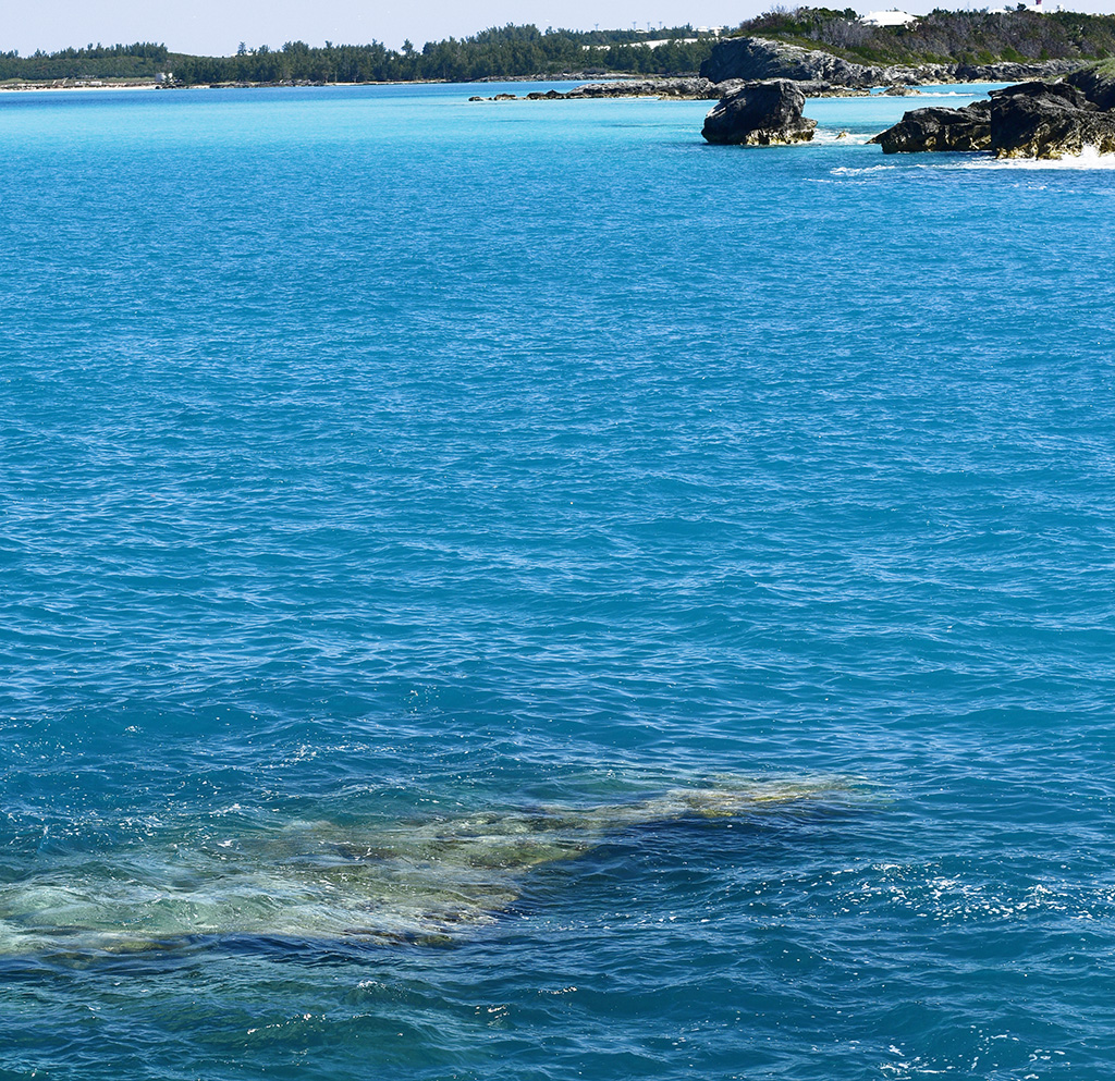
Rock Awash – Always underwater
Once inside Castle Harbor, I needed to find a suitable place to anchor. The #1 spot recommended seemed to small and too exposed for me. As with all anchorages, they are dependent upon the wind and wave direction.
Castle Harbor Anhorage
I followed the channel around and checked out each area along the way. I chose a nice peaceful location for the night; out of the wind, with very little waves.
The wind was forecasted to change the next day. So, I had plenty of time to choose a better location for the long-term. I would weigh (raise) anchor after breakfast the next morning.
My new location was perfect! There were several moorings, all empty. It was too early in the season for the owners to have their boats there. So, I just dropped anchor with plenty of room to swing as the winds changed. I was protected for the worst winds (35 knot) and all wind changes forecasted for that week.
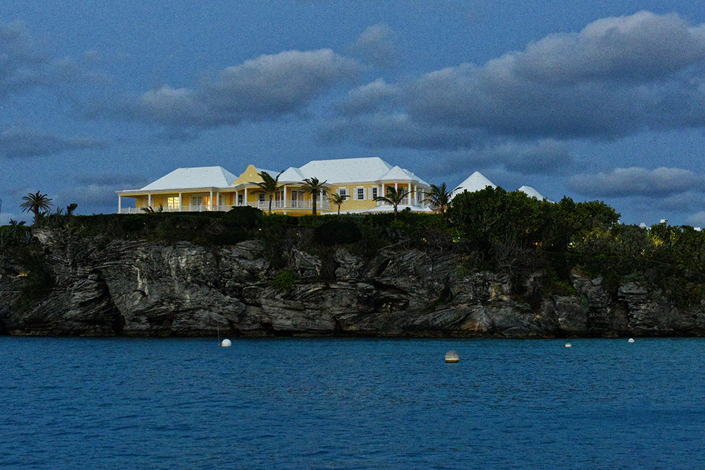
I was anchored in Tucker’s Town. This si where the rich and famous have their estates in Bermuda.

The Late Ross Perot’s Bermuda Estate
I was just below the late Ross Perot’s estate. I’m not sure, but I thin Ross Perot Junior has kept the estate. Either way, nobody was living there while I was there. Before I left, there was a floating dock installed on the fixed dock to the right.
With Ross Perot’s estate behind me, Golden Eye was to the right… It is not to be confused with the Goldeneye estate in Jamaica.
Golden Eye Estate
I had many reasons to come to this harbor. First, quiet and solitude away from Convict Bay in St. George and all its boat traffic. Second, to see part of Bermuda, that many people miss. Thirdly, This is where the Bermuda Longtail birds nest. I wanted to see them.
Longtails
The next morning after moving the boat, I was pleasantly surprised to see 10, maybe 15 Lontails circling my boat.

Bermuda Longtail
In the photo, the bird looks peacefully gliding. However, they are more like Barn Swallows turning at an instant.
I rowed my tender to Charles Fort Island. It is a public island. So, I could land at the beach and hike the island. It was one of those rocks protecting the Harbor entrance. It’s cliffs are also one of the texting areas for the Longtails. Going on the island there is a sign giving all the rules… Take out what you bring in, do not pick or collect any animal or plant from the island … I just wanted a vantage point to try and catch a few photos of the Longtails.

Tender tied to rocks ashore so the tide doesn’t carry it away.
After climbing to the top of the island, The view was spectacular!

Longtails flying in the foreground. Golden Eye Tower in the background.

I can’t help identify the owner of this beautiful ocean-front estate… but what a location!
Rowing back to Distant Horizon I made a stop at the small beach below the Golden Eye tower. The beach was amazing!
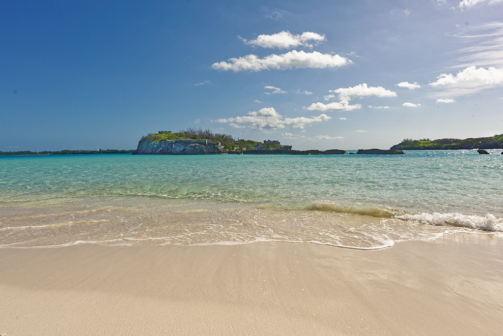
Beach below Golden Eye tower looking at Castle Island.
I was rewarded with seeing my first perfect Sand Dollar. I left it in-place; happy to photograph it and keep the memory of the discovery.
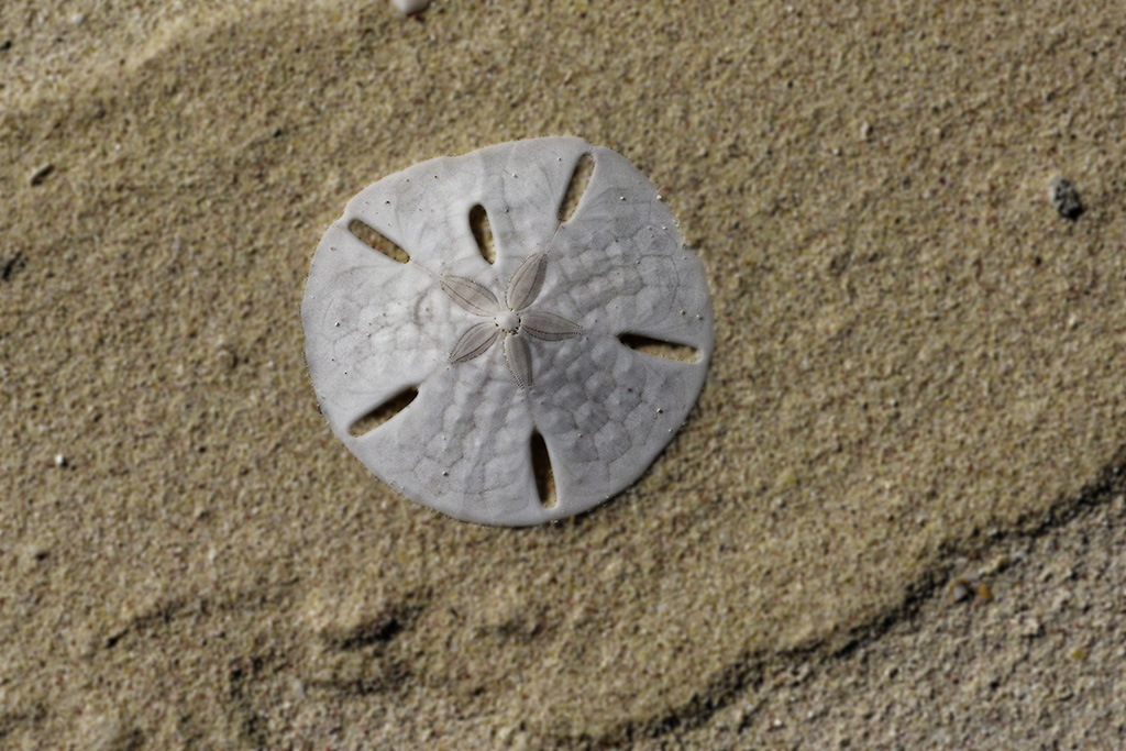
Sand Dollar
It was a great week in Bermuda! Little did I know at the time, It would be my last week in Bermuda. A prefect weather window was developing for my departure.